Fixed-location atmospheric intelligence
Real-world sky, weather, and cloud-motion data for AI modeling and geospatial validation.
Wicked Skies captures continuous, timestamped coastal-atmosphere footage across multiple camera nodes, designed for machine learning, environmental computer vision, satellite comparison, nowcasting research, and AI dataset licensing.
Dataset first
Built as atmospheric training data — not just weather footage.
Wicked Skies is a continuously expanding visual record of cloud evolution, storm structure, light conditions, horizon states, precipitation signatures, and coastal atmospheric behavior. The system is designed to pair visual data with ground-truth telemetry for downstream AI, ML, geospatial, and environmental modeling workflows.
Continuous capture architecture
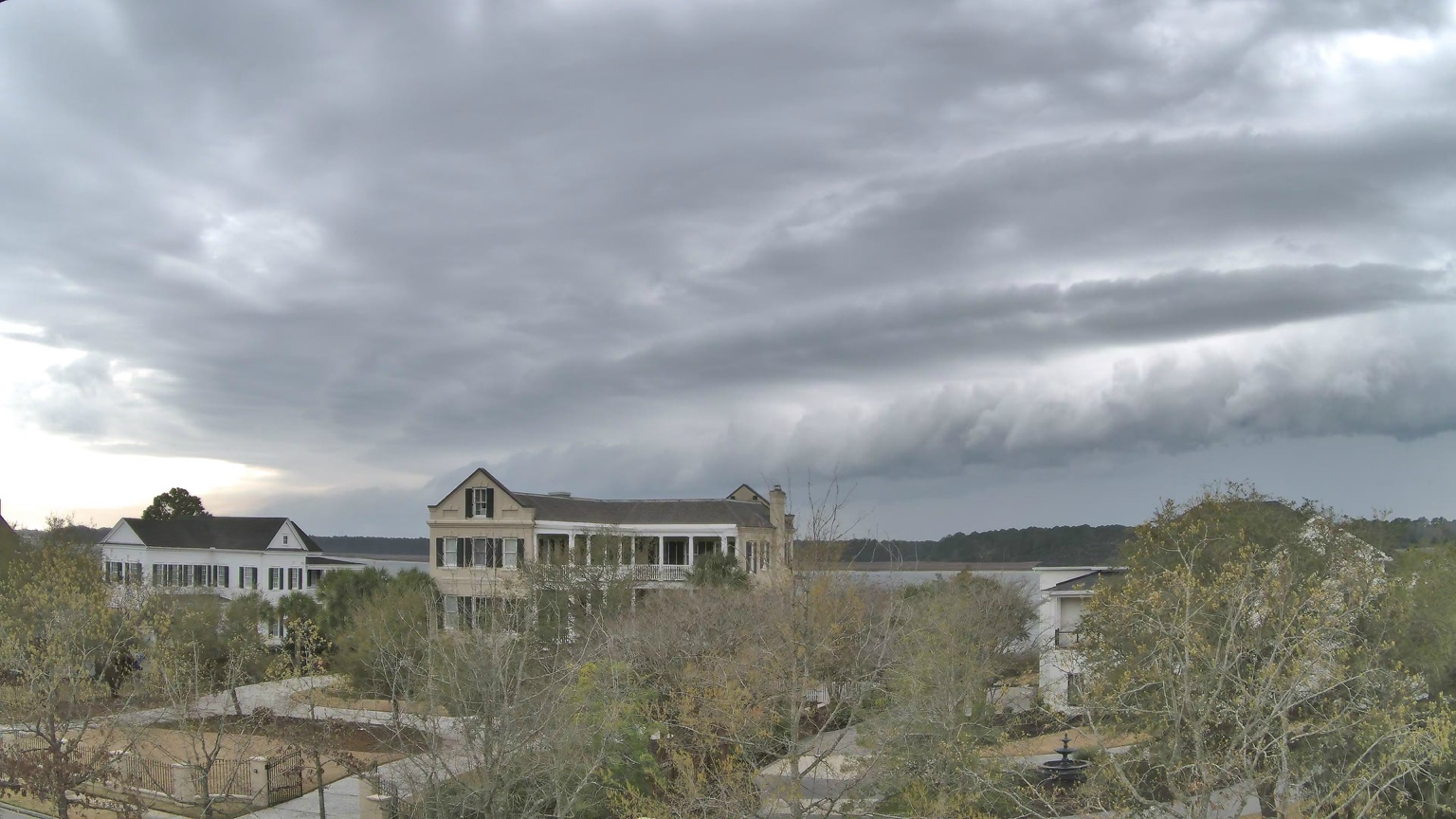
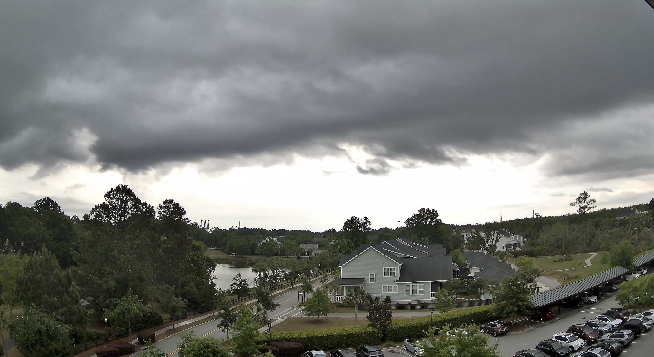
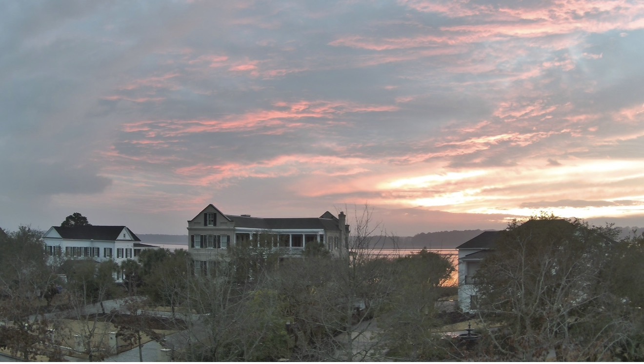
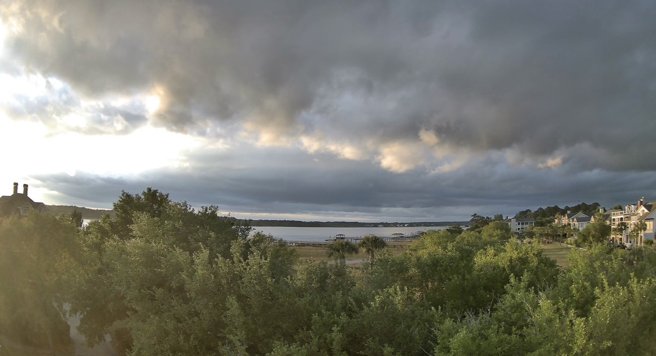
Camera perspectives across two Charleston-area nodes
High-resolution source video capability
Weather and lightning context for richer labeling
Primary use cases
AI, ML, satellite, and geospatial workflows.
- Atmospheric computer vision training
- Cloud-motion and sky-state classification
- Satellite and remote-sensing validation
- Nowcasting and environmental model support
- Storm development, lightning, and precipitation labeling
- Coastal weather-pattern analysis
Capture system
Persistent coastal observation nodes with visual and telemetry context.
The Wicked Skies platform is built around fixed-location camera perspectives in the Charleston, South Carolina coastal region, including views of the Wando River corridor, and Charleston Harbor. The system captures long-duration real-time footage and time-lapse sequences suitable for structured review, labeling, model training, and licensing.
Telemetry & capture stack
Reolink RLC-823-S1 PTZ cameras
Reolink RLN8-410 NVR continuous recording
Davis Vantage Pro2 Plus weather station
Boltek LD-250 lightning detection
Timestamped video archive with weather-context workflow
Sample footage
View a long-form Wicked Skies compilation.
Use the sample compilation to evaluate visual coverage, motion, sky-state variety, and dataset relevance.
Licensing and dataset access